Why Were Railroads Built Through Places This Beautiful?
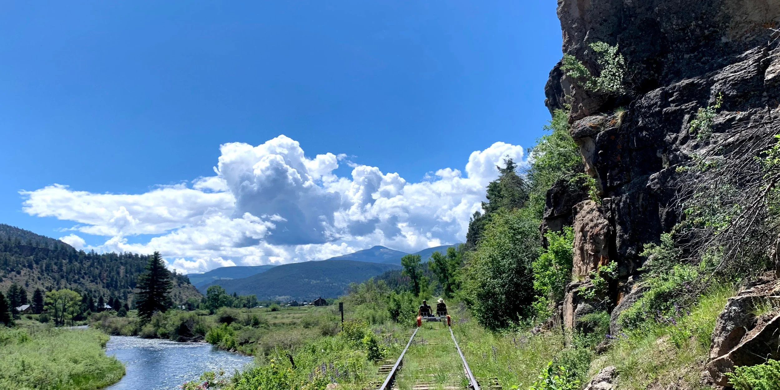
Revolution Rail’s Rio Grande Run in South Fork, CO
Pedal along a historic railroad today and it's easy to wonder how the tracks ended up here in the first place.
They follow rivers through the mountains. They disappear beneath forest canopies. They cross bridges high above the water and pass through stretches of landscape that can feel far removed from the nearest road. From a rail bike, these routes can seem almost designed for sightseeing. But the railroad engineers who mapped them weren't necessarily looking for the best view. They were trying to solve a much more practical problem: how do you get a train from one place to another?
The answer often meant working with the landscape rather than against it. And more than a century later, some of those decisions are part of what makes exploring historic railroads by rail bike so memorable.
Following the Lay of the Land
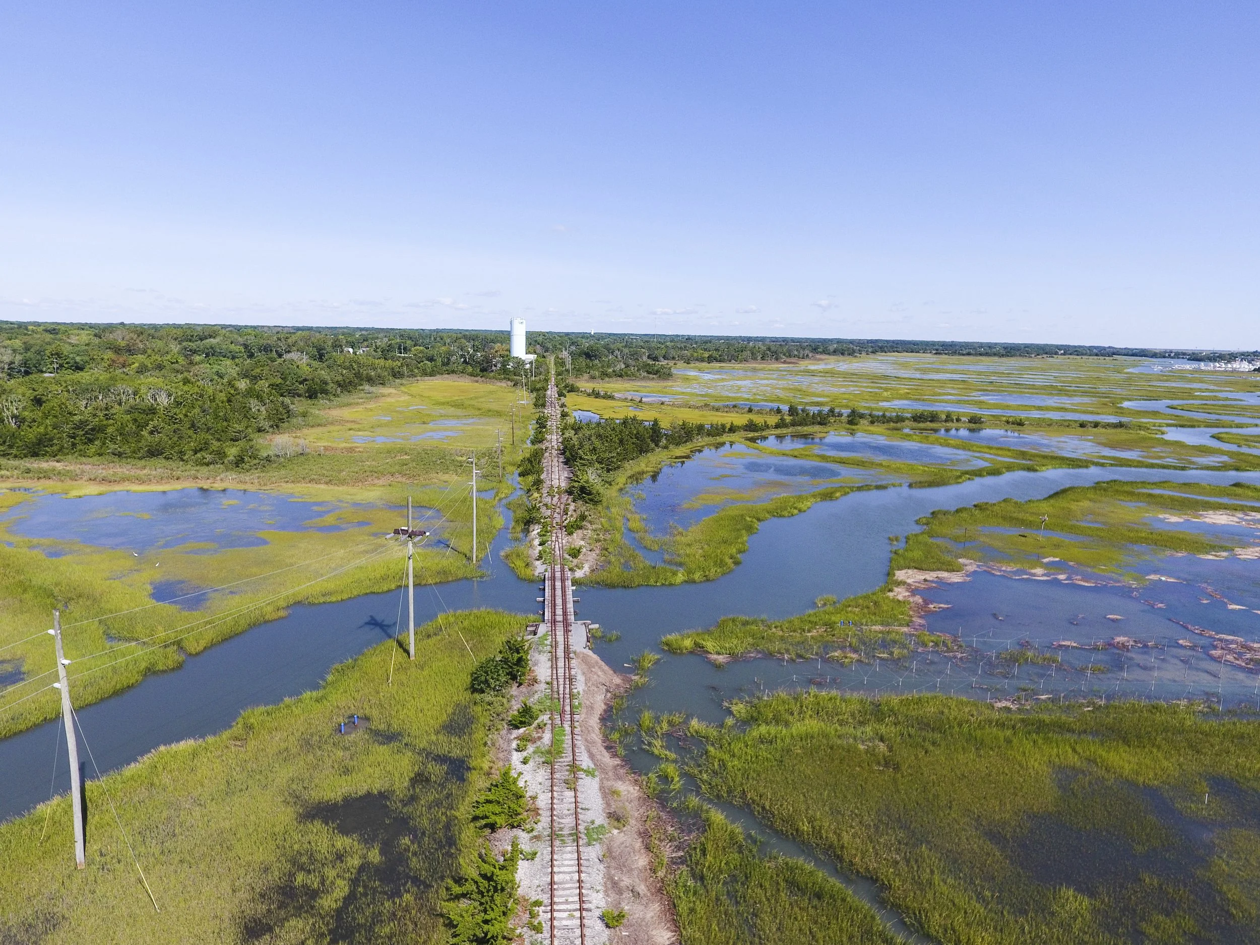
Revolution Rail’s Cape May Run in Cape May, NJ
Building a railroad required careful planning. Trains are heavy, and especially during the early days of rail travel, steep climbs and tight turns could create serious challenges.
Before tracks could be laid, surveyors and engineers studied the terrain and considered different possible routes. Historic railroad surveys show just how much attention was paid to elevation, curves, distances, and connections with other railroads. Whenever possible, routes took advantage of the natural landscape.
Valleys could provide a way through mountainous terrain. A river corridor could offer a more gradual path than the surrounding hills. In other places, engineers had to find another solution, like building a bridge across a river, or constructing a trestle across a gap.
The result couldn’t always be the shortest line between two points, as convenient as that may sound. It needed to be a route a train could realistically travel.
Why Do So Many Railroads Follow Rivers?
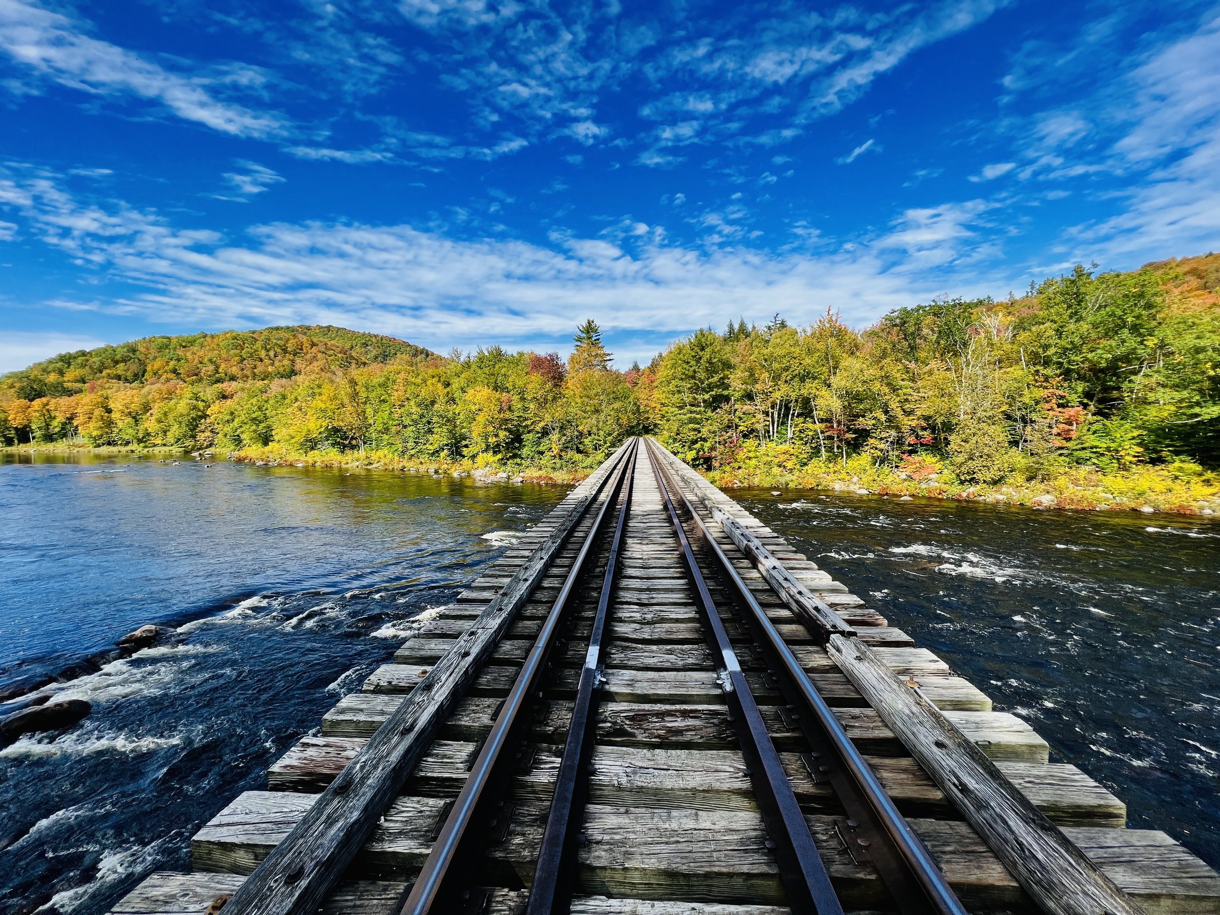
Revolution Rail’s North Bridge Run in North Creek, NY
River valleys often provided corridors through terrain that would otherwise require much steeper climbs. Following those natural contours could help railroad builders find more manageable grades and broader curves.
That doesn't mean every railroad beside a river was built for exactly the same reason. Each line had its own geography, purpose, engineering challenges, and history. But across American railroad history, valleys frequently provided practical routes through difficult landscapes.
Today, that practicality can result in some extraordinary scenery. At Revolution Rail's North Creek Station, for example, portions of the historic rail corridor follow the Hudson River. On the North Bridge Run, riders eventually cross a trestle above the Hudson near its confluence with the Boreas River. On the South River Run, the tracks continue alongside the Hudson, offering views of the river and surrounding Adirondack landscape.
At Rev Rail's Hadley Station, riders pedal across a 500-foot-long bridge 90 feet above the Hudson and Sacandaga Rivers. It's an incredible view, but that view is a byproduct of infrastructure built for an entirely different purpose. The bridge wasn't placed there to create a scenic overlook. It was part of a transportation route that needed to get across the water and continue on the other side.
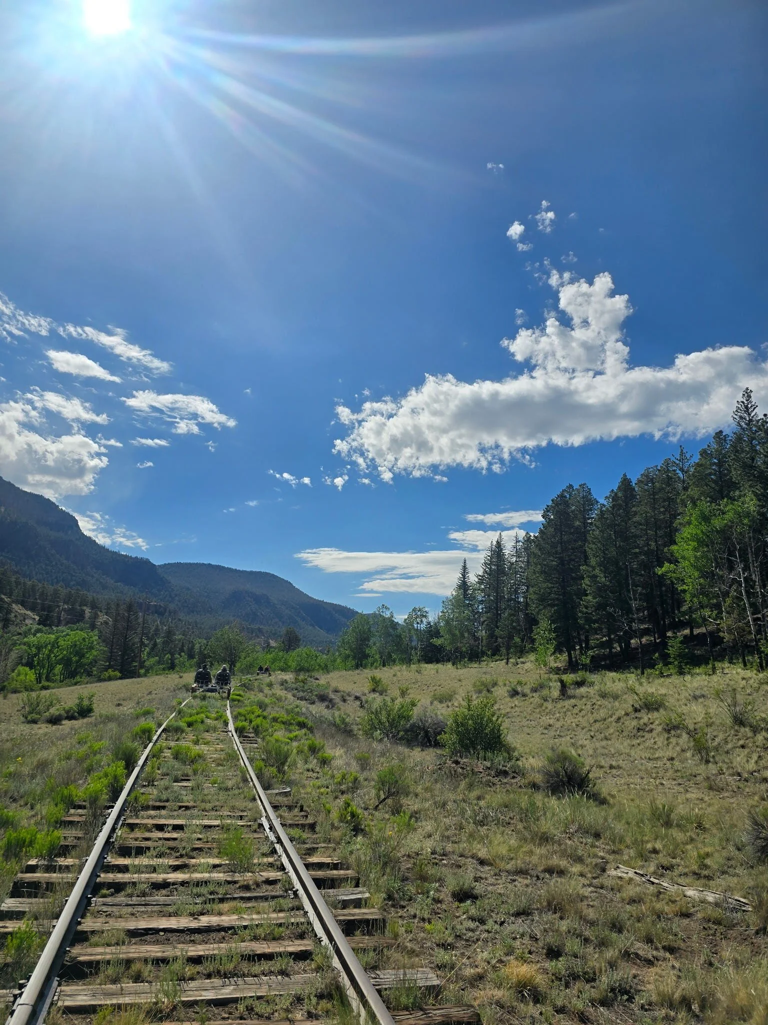
Revolution Rail’s Silver Bridge Run in South Fork, CO
More than 1,800 miles west, Rev Rail's South Fork routes travel through a very different mountain landscape beside the Rio Grande.
The railroad reached this part of Colorado during a rapid expansion in the late 19th century. The Creede Branch, which runs west from South Fork, was completed in 1891 and carried significant traffic connected to gold and silver mining in the region. Today, rail bikers leaving South Fork Station follow part of that historic railroad landscape alongside the Rio Grande and through the Coller State Wildlife Area.
From a rail bike, the river and mountains are part of the experience. More than a century ago, this was working railroad infrastructure tied to the movement of people, supplies, and resources through Colorado's high country.
Railroads Had Somewhere to Go
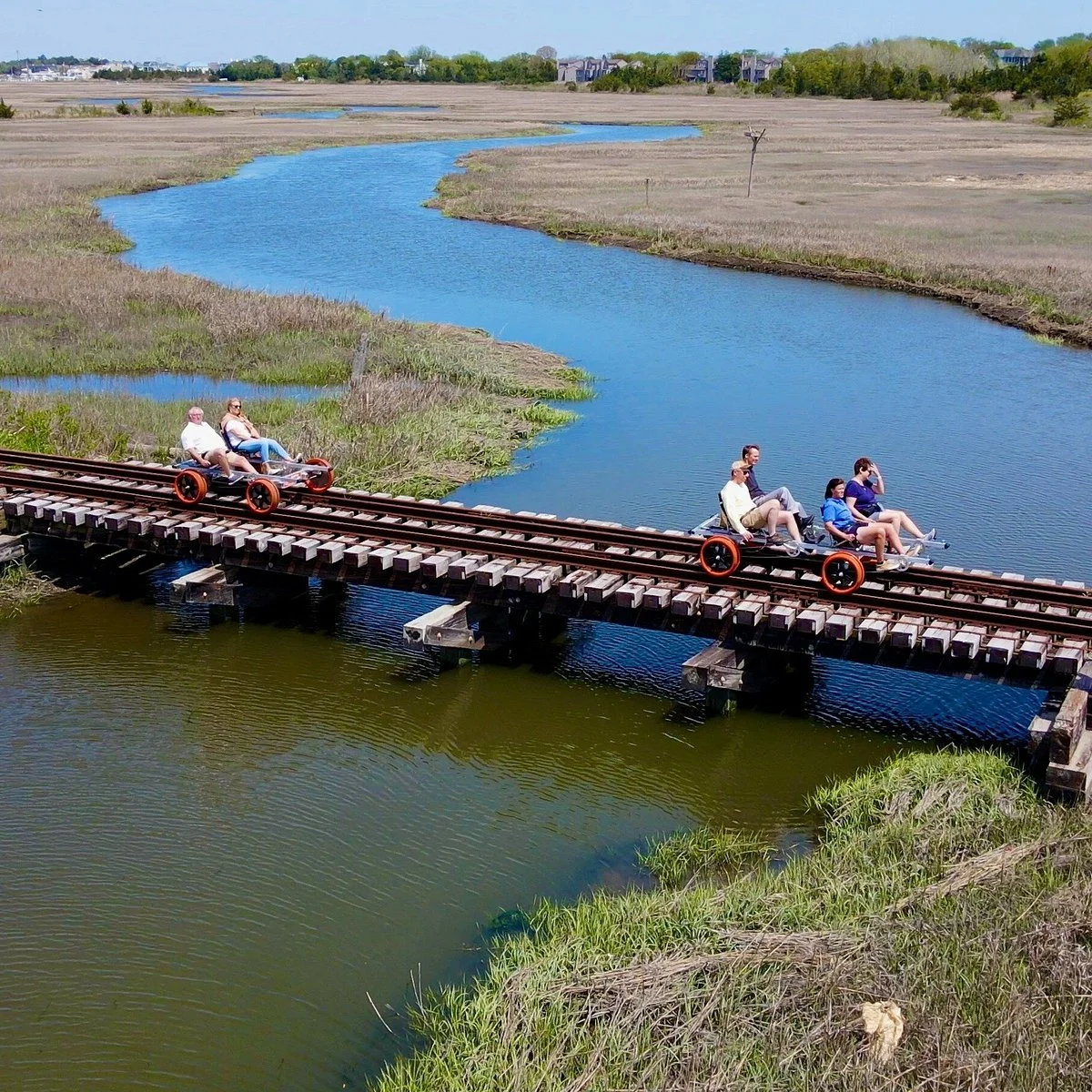
Revolution Rail’s Cape May Run in Cape May, NJ
Cape May, New Jersey, offers a very different example from the Adirondacks and Colorado.
By the 19th century, Cape May was already developing into a major seaside resort, and railroads helped make the shore more accessible to travelers. Rail service reached Cape May in the 1860s, creating a continuous rail connection between Camden and the seaside community. By the end of the century, competing railroad companies were carrying passengers toward Cape May and other South Jersey shore destinations.
That history gives the tracks beneath Rev Rail's Cape May Run a different story. Here, there are no mountain valleys dictating the route. Riders leave from the heart of Cape May and pedal alongside the Garrett Family Preserve before reaching the Cape May Canal.
Today, a corridor once associated with moving passengers to the Jersey Shore offers an entirely different way to move through Cape May.
Repurposed Railroad Tracks Today
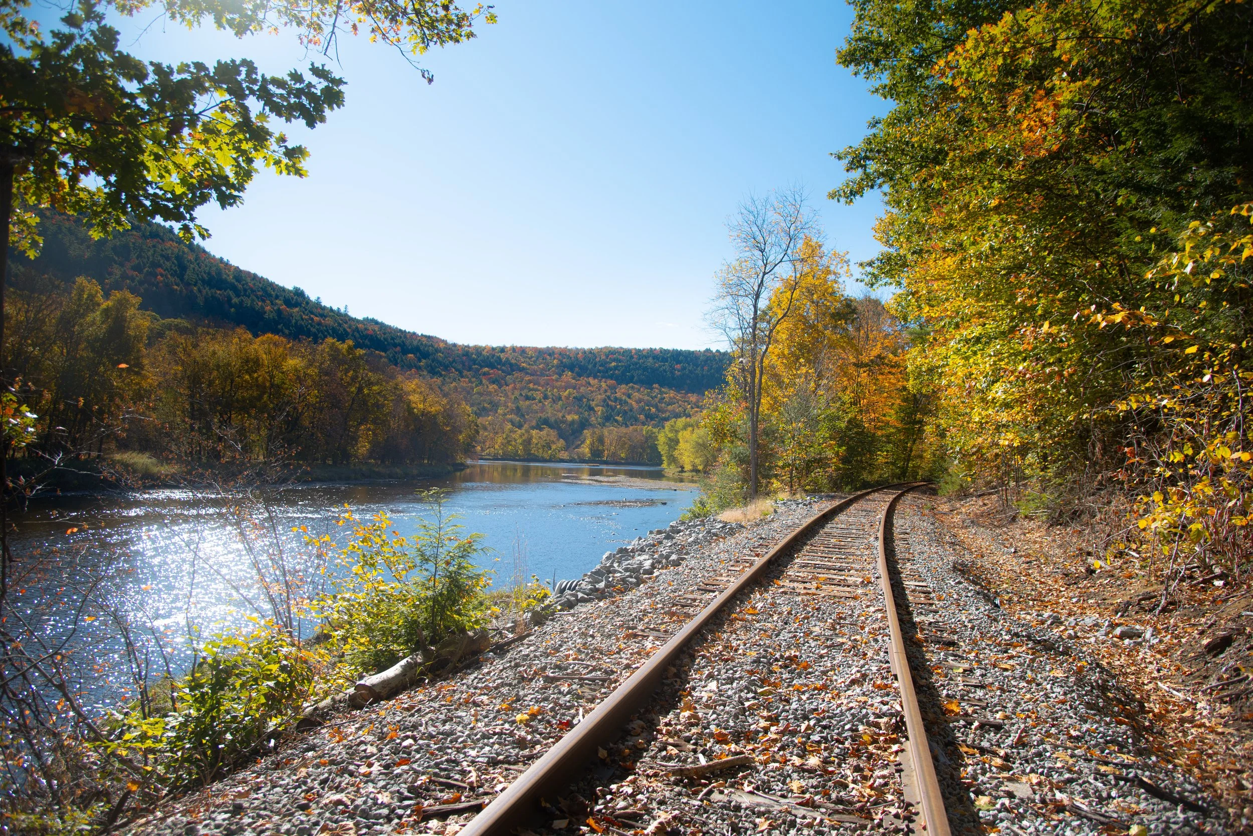
Revolution Rail’s Thurman Station Run in Thurman, NY
Today, riding these historic rail corridors offers a chance to see the landscape from a perspective shaped more than a century ago. The rivers, bridges, mountains, forests, and coastlines may catch our attention now, but they weren't necessarily what brought the tracks here in the first place.
The people who surveyed these railroads weren't trying to create a beautiful journey. More than a century later, they did anyway.
See where the rails can take you. Explore Revolution Rail's rail biking locations and find your next ride.